![]()
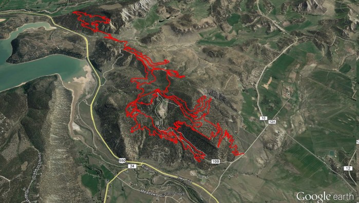
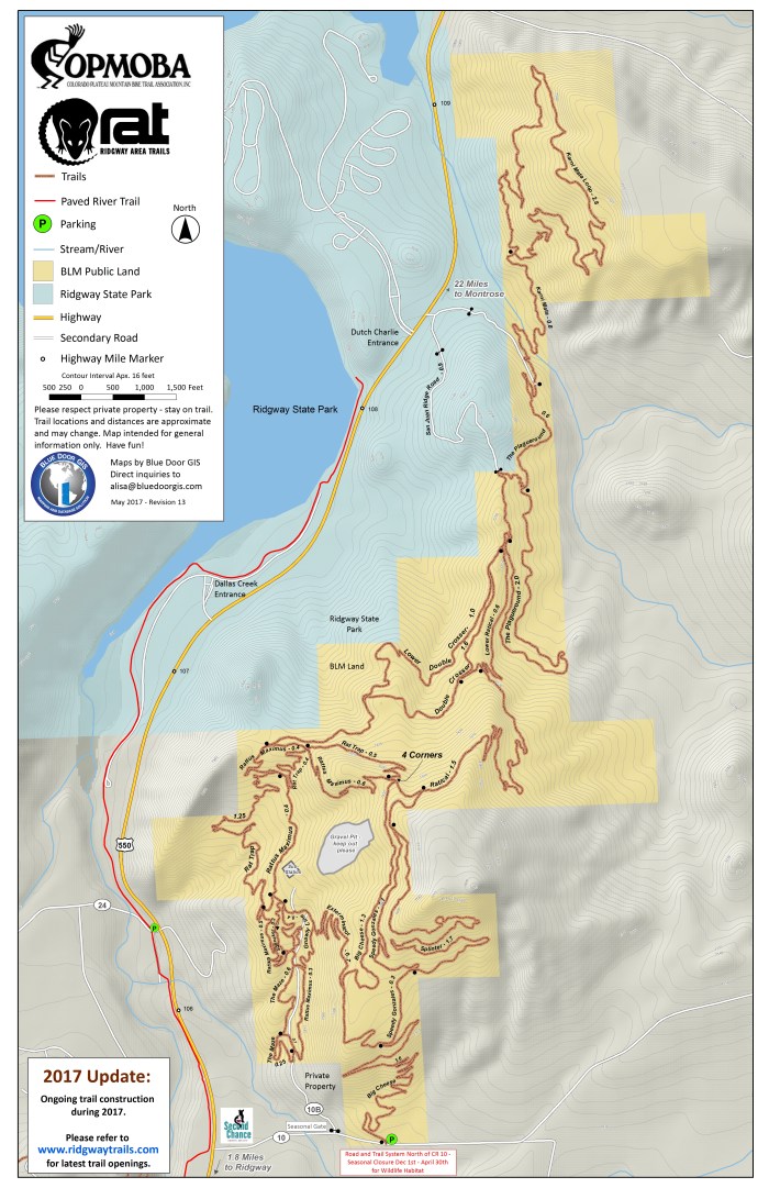
Blue Door GIS has been helping RAT design and publish trail maps for the new single track trail system in the area around Ridgway, CO since 2014. With two separate trail systems in Weaver Park north of town and a constantly expanding network of trails on BLM land just off of Highway 550 at County Road 10, RAT volunteers are creating a diverse and fun network that will total over 25 miles of single track fun. Here is the first draft of the new trail network northeast of Ridgway. The trail network is being consistently added to, so please check back for revisions. The georeferenced PDF maps can be downloaded onto your smartphone and used with the free app PDF Maps.
Click here to download the 11×17 PDF of the east trail network: RATmap_east052417
****This PDF is a georeferenced file that will work with the Avenza PDFMaps app on your phone. **** http://www.avenza.com/pdf-maps
Here is the 11×17 jpg:
Please email me at alisa@bluedoorgis.com if you’d like to receive the latest KMZ file.